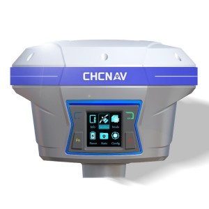
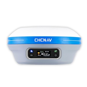
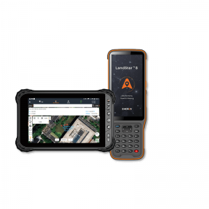
CHCNAV LT800H
CHCNAV LT800H
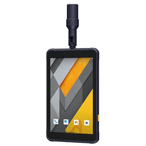
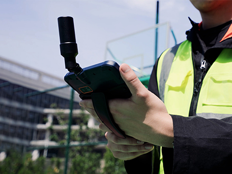
Rugged Tablet with GNSS RTK Positioning
Highlights
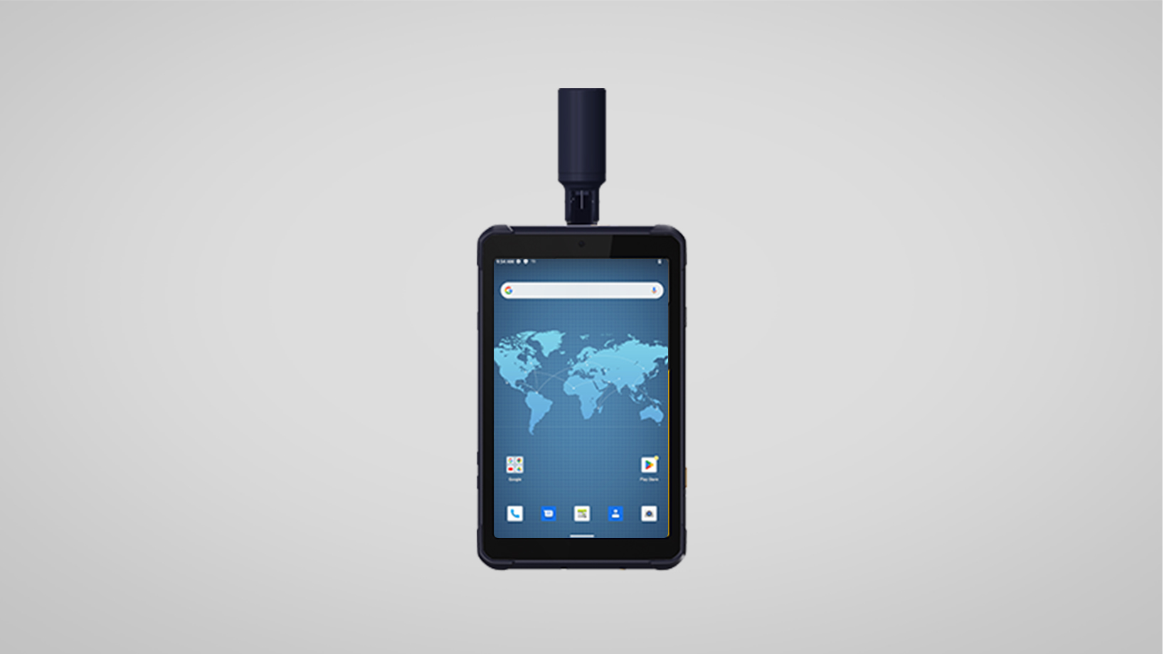
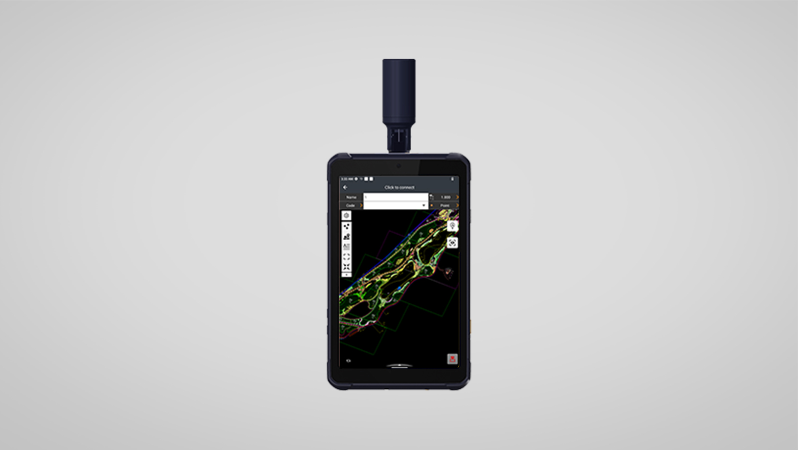
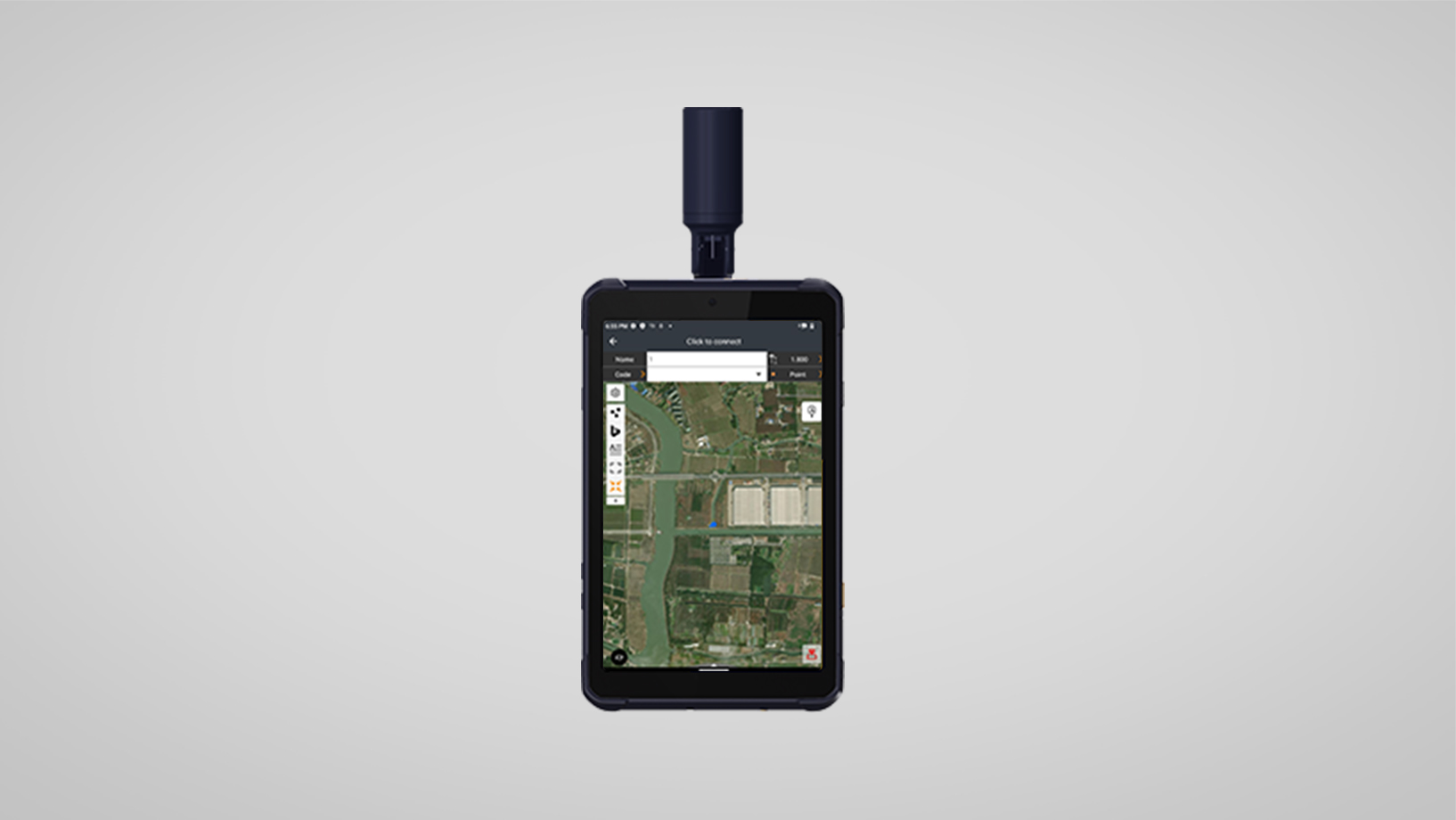
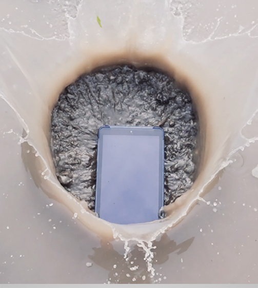
The LT800H RTK Android tablet increases the productivity of mobile workforces. Designed for centimeter-to-decimeter accuracy, it excels in precision GIS data collection, forensic mapping, construction layouts, environmental studies, and landscaping projects. Its sunlight-readable 8.1" display ensures that GIS data maps and images are clear even in bright sunlight. Its rugged IP67-rated design withstands harsh conditions, making it the first choice for teams in challenging environments.
Main Features


High-Precision GNSS
High Performances
Durable Display
Enterprise Integration
Reliable GNSS RTK centimeter positioning.
2.0 GHz octa-core processor.
8.1" Corning Gorilla Glass 3 IPS touchscreen.
Google Mobile Service (GMS) and Android Enterprise Recommended (AER).
Benefits and Performances
Achieve centimeter-to-decimeter accuracy with the LT800H’s integrated 1408-channel GNSS module. Supporting GPS, GLONASS, Galileo, BeiDou, QZSS and SBAS constellations, it ensures reliable RTK positioning in the most challenging environments.
Increase productivity with the LT800H’s 2.0 GHz octa-core powerful CPU to handle large maps and data sets without lag ensuring seamless data collection.
The LT800H's 8.1" Corning Gorilla Glass 3 IPS touchscreen allows you to work efficiently in any lighting condition. The 600 nits display allows to view GIS data, complex vector maps and high-resolution images clearly, even in direct sunlight.
For seamless integration with popular enterprise data collection applications, the LT800H is Google Mobile Service (GMS) and Android Enterprise Recommended (AER) certified, ensuring software compatibility and optimal performance.
With WiFi, Bluetooth 5.1, NFC and a built-in 4G modem, the LT800H keeps you connected. The dual SIM 4G modem provides fast and reliable communications to improve collaboration between field teams.
Count on the LT800H for harsh environments. Its IP67-rated industrial design ensures resistance to dust, water, and shock for extended use in real-world field conditions.
Use Cases


Asset Management
Land Parcel Surveys
Archaeological Site Mapping
Pre-Construction Surveys