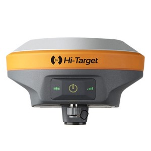
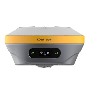
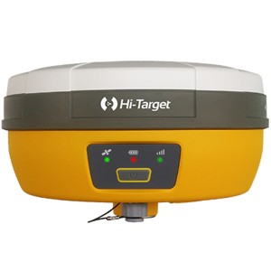
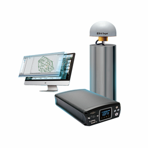
V500 GNSS RTK System
Product Detail

Product Tags

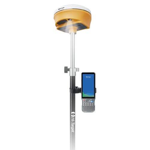
V500 GNSS RTK System

Equipped with an upgraded high-definition starlight camera, V500 brings out an excellent visual stakeout experience in low-light conditions. The compact and lightweight design,24 Hours Ultra-Long battery life make V500 a feasible and portable choice for surveyors and engineers in collecting data and improving position accuracy.

Higher Accuracy and Precision

Equipped with the High-Performance Patch Antenna, enhances the low elevation angle tracking capabilities and keeps it maintaining a high gain for higher elevation satellites while tracking low-elevation satellites.

3
5

Built-in High-Precision Tilt Survey

– Based on the new generation of IMU, initialization occurs automatically at the startup without obtaining a fixed solution.
– Measure as reaching the point, efficient and convenient.
– Stable performance for reliable results.

Full Constellation and Full Frequency

– Advanced GNSS SoC chip features 1408 channels, supporting new frequency points B1C, B2a, and B2b RTK decoding for Beidou-3 Satellites.
– Multi-frequency interference detection technology and multi-stage adaptive filtering technology with a strong signal, good data, fast fixed procedure, and high accuracy.

6

Product Parameters

8mm+0.7mm/°tilt

Tilt Survey Accuracy

1408/1760

Channels

BDS/GPS/GLONASS/GALILEO/ QZSS/NavlC/SBAS

Signal tracking

1cm

Image Stakeout Accuracy

Built-in 16GB ROM

Data Storage

≤0.75kg

Weight

Download

  • V500-Brochure-1408channel-EN-20241105s
  • V500-Brochure-ES-20230911s
  • TB8H-Datasheet-EN-20241115T
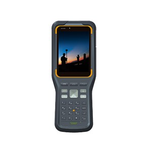
  • iHand55-Professional-Field-Controller-EN-20240702
Inquire Basket ( 0)
0